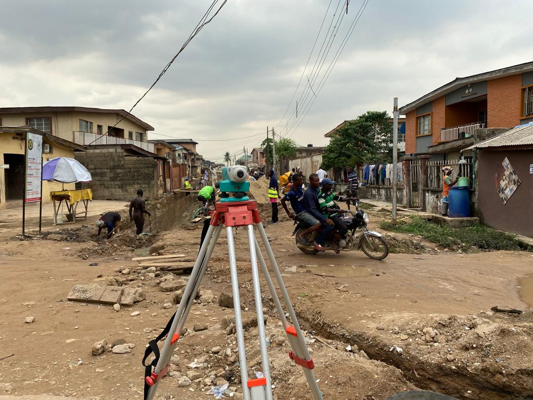
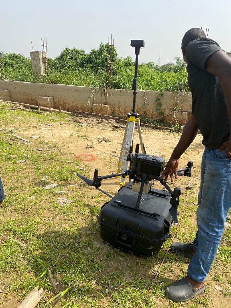
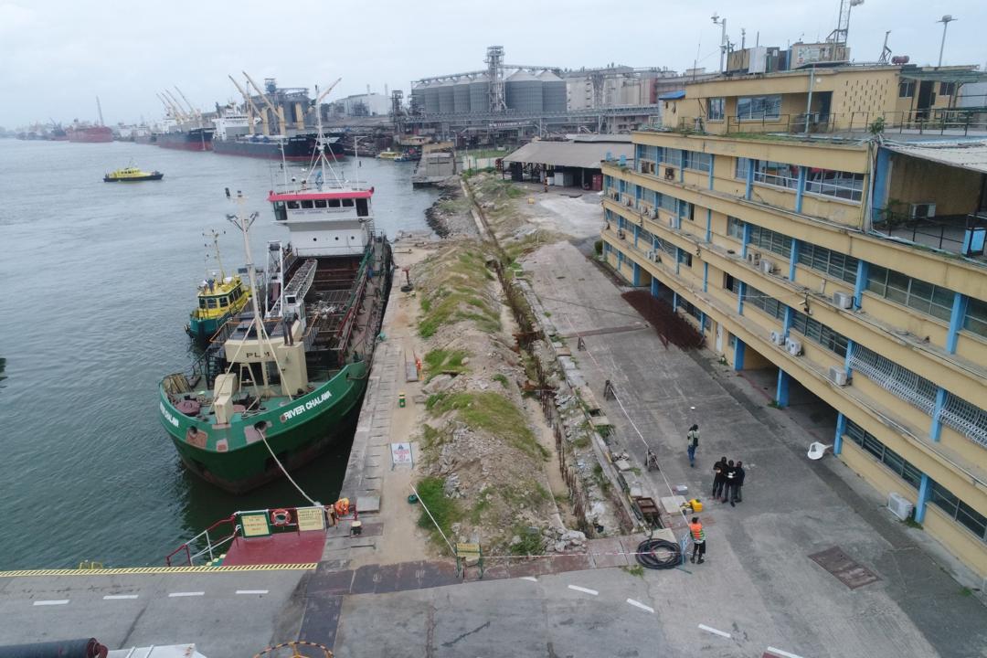
Welcome to Hiba Consult

our commitment to client satisfaction is unparalleled. We leverage on advanced technology and state-of-the-art equipment to ensure precise measurements and data collection..

Get Started

Our Solutions and Services

Maritime Geospatial Solutions

We provide precise maritime geospatial surveys using advanced sonar and geotechnical tools to measure underwater depth, map seabed features, analyze materials, and support dredging, offshore engineering, and coastal infrastructure planning.

Infrastructure & Engineering Survey Services

Our engineering survey services produce accurate spatial data for infrastructure development—supporting design, construction, and project validation. We deliver route mapping, site layouts, and terrain analysis for efficient and error-free execution.

Agriculture

We deliver aerial and precision agricultural mapping with GIS/LIS services, providing accurate data for crop monitoring, land management, and informed decision-making to improve productivity and efficiency

Property & Land Survey Solutions

We conduct cadastral and boundary surveys to define property limits, support land registration, and ensure accurate documentation for real estate development, ownership verification, and legal compliance.

Environmental Mapping

We provide environmental mapping and analytics to measure carbon stock, assess biomass, identify waste distribution, and apply GeoAI for sustainable urban planning and ecological conservation.

Aerial Mapping & GIS

We use drone and LiDAR technologies to capture high-resolution aerial data for mapping, inspections, and asset analysis. Our GIS solutions transform spatial information into actionable insights for planning and decision-making.

Software Development

We develop custom software solutions tailored to your business needs. Our team of experts utilizes the latest technologies to deliver high-quality applications that enhance productivity and drive innovation.

Capacity Building and Training

We offer capacity building and training programs to empower individuals and organizations in utilizing geospatial technologies effectively. Our workshops and training sessions cover a range of topics, from data collection to advanced GIS analysis.

OUR COMPANY

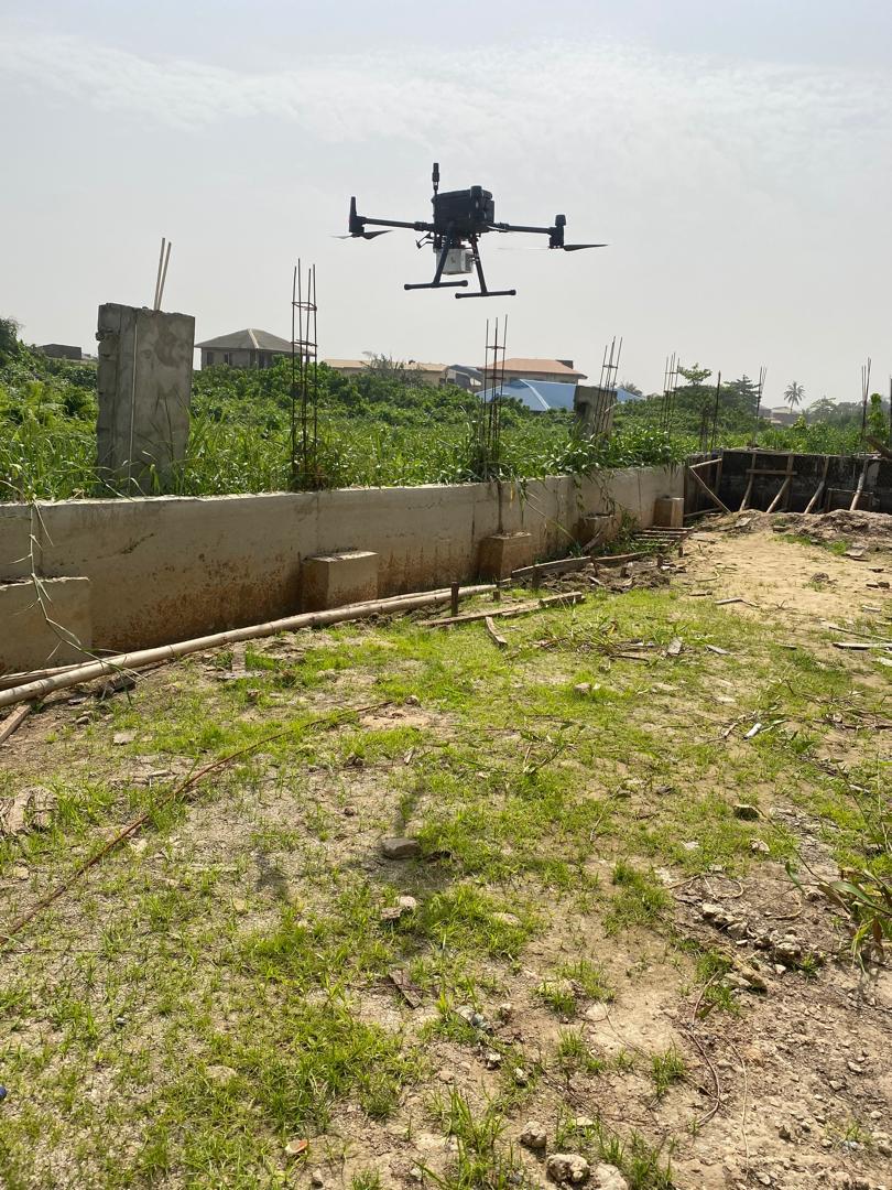
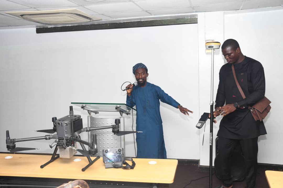
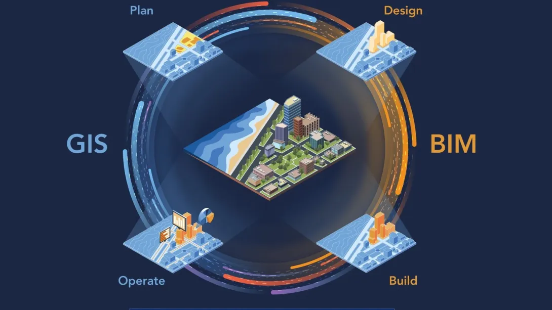
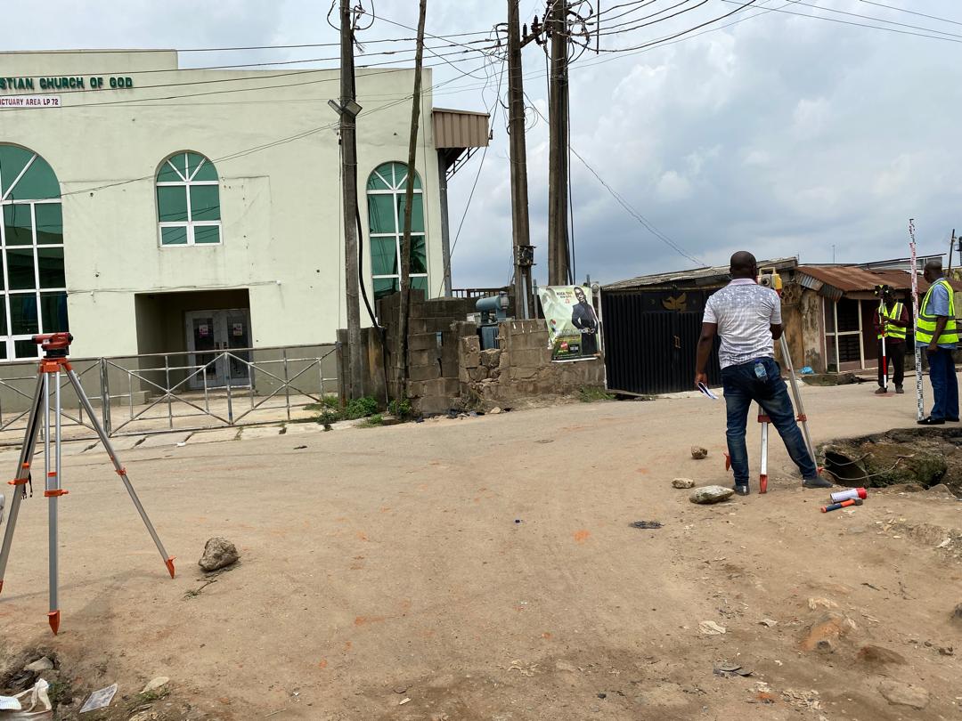
HIBA CONSULT LIMITED is an indigenous African company providing geospatial services to various sectors of the economy.

Established as a body corporate in 2017, HIBA CONSULT LIMITED has grown to become one of Nigeria’s leading surveying companies specializing in Hydrographical, Geotechnical Surveys, Reclamation & Construction Surveys, Engineering and Aerial Mapping Services, Special Environmental Management Solutions.

Get a quote

Need a Consultation?

Contact us today to discuss your project requirements and how we can help you achieve your goals.

Our Corporate Values

Esse voluptas cumque vel exercitationem. Reiciendis est hic accusamus. Non ipsam et sed minima temporibus laudantium. Soluta voluptate sed facere corporis dolores excepturi

OUR VALUES

At HIBA CONSULT LTD, our commitment to client satisfaction is unparalleled. We leverage on advanced technology and state-of-the-art equipment to ensure precise measurements and data collection. Our experienced team provides personalized attention to every detail and ensuring we prioritize clear communication and collaborative partnerships with our clients to understand their goals and deliver results that exceed expectations.

OUR VISION

To be the industry leader providing geospatial services, driven by innovation and excellence.

OUR MISSION

To deliver accurate and reliable data to our clients, while contributing to the sustainable development and advancing the understanding and management of spatial information in our space.

Our Clients